


Groundwater Flow and Nitrogen Impact Study
Seekonk Water District • Seekonk, MA
Solution Overview
Client:
Seekonk Water District
Business Challenge:
- Complex groundwater flow dynamics impacted by hydrologic and geologic factors
- Understand how nitrates from fertilizer and other uses may have impacted the wellfield and subsequent water quality
Solution:
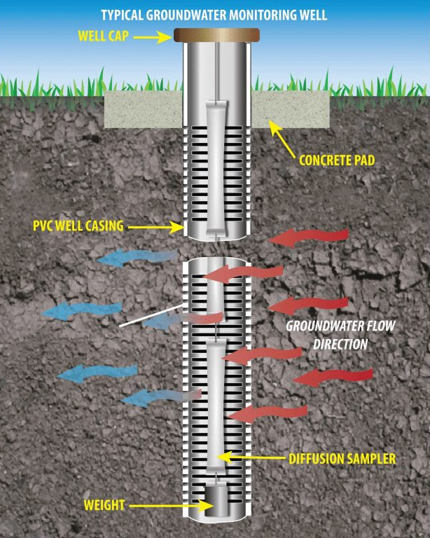
- Hydrogeology and groundwater flow study
- Field investigations (soil borings, monitoring wells, stream piezometers, water level monitoring, and aquifer testing)
- Groundwater modeling analysis
Results:
- A tool to manage the wellfield, well placement, withdrawal rates, Zone II delineation, and water quality
Challenge
The Newman Avenue Wellfield, a sole source aquifer in Seekonk, MA supplies 80 percent of the water for the Seekonk Water District to its residents. The Water District wanted to understand the dynamics of groundwater flow, as well as the impacts of nitrates from fertilizer and other uses to the Wellfield and resulting water quality.
Solution
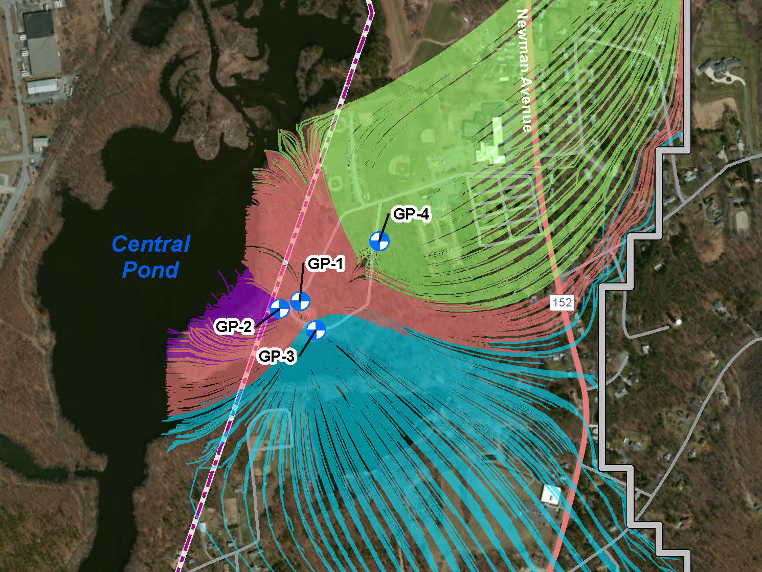
Environmental Partners (EP), Apex Companies' Infrastructure Solutions platform, conducted a hydrogeology and groundwater flow study of the Newman Avenue Wellfield for water supply protection, planning, and management purposes. The study included field investigations (soil borings, monitoring wells, stream piezometers, water level monitoring, and aquifer testing) to characterize the hydrogeologic properties of the overburden aquifer surrounding the Wellfield, and to support development of a groundwater flow model to examine impacts of current and potential future nitrate sources to groundwater within the capture zone of the Wellfield. McLane Environmental performed groundwater modeling analysis to simulate natural groundwater flow patterns and hydraulic effects of pumping in the vicinity of the wellfield and was used to calculate supply well capture zones to aid in delineating sources of water to the wells. The model was also used to examine current and potential future sources of nitrate to the water supply.
The influence of nearby surface water boundaries that controlled flow in the glacial outwash aquifer were carefully placed in the model. Model layers and lithology in the area of interest were included in the model based on the results of recently collected geologic boring data, and the model was calibrated to 2013 average groundwater elevation conditions.
Results
Capture zones delineating the area of groundwater flowing to each of the wells was computed by the model and compared with a map of existing and proposed commercial, recreational, and residential sources of nitrogen to the environment to identify key areas of potential concern. The wellfield groundwater flow model provided the town with a tool for managing the wellfield going forward including decisions regarding well placement and withdrawal rates, Zone II delineation, and management of water quality in the vicinity of the wellfield.