


All-inclusive Boundary and Land Mapping Surveys
At Apex Companies, we provide land surveys for residential, commercial, and industrial developments. Our expertise ranges from cutting-edge UAV (drone) surveying and 3D Modeling to traditional property boundary, construction stake-out and general location surveys.
In the absence of accurate land and title surveys, your development project can easily be derailed.
During the construction phase is no time to find out that boundary lines have been improperly plotted, or that easements and rights-of-way have not been accounted for correctly.
As important as precise mapping, ALTA/ACSM land title surveys are critical to assuring that no hidden issues will surface during land development, matters like undisclosed easements and rights-of-way that could even impact the value of your property.
Our comprehensive services allow us to provide a single point of responsibility for everything from base mapping and topographic surveys, to earthwork volume computations and underground and surface mine studies.

UAV and Drone Surveying
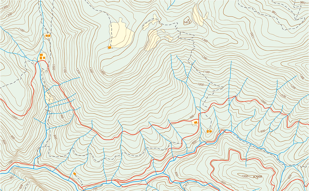
Welcome to the future of surface surveying. Apex Companies offers topographic mapping and surveying services completed by an RTK-GPS Surveying Drone. The UAV (Unmanned Aerial Vehicle) can complete surveying projects more efficiently and accurately compared to traditional methods.
How does it work?
Apex imports a base map to the drone with a defined area to cover. After importing the map, the required ground resolution and image overlap is specified. Then specialized software generates a full flight plan, calculating the drone's required altitude and projected flight plan.
After launch, the drone continuously analyzes data from the Inertial Measurement Unit and the on-board GPS. This allows control over every aspect of the flight. If necessary, the flight plan and landing point can be reprogrammed mid-flight.

What happens to the flight results?
After the flight is completed, the data collected will help create geo-referenced maps and models. In a short matter of time the photogrammetry software, used in conjunction with the photos from the flight, generates 2D orthomosaics, 3D point clouds, triangle models and Digital Elevation Models.
All data collected can then be exported to third-party software to add GIS data or for creating custom maps. Typically, Apex can deliver a final topographic map and orthophoto within one day; and in some cases, the same day.
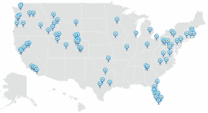
Looking for Surveying & Mapping services near you?
UAV and Drone Surveying Benefits
Weather Condition Ready
- Less weather restrictions compared to manned aircraft
- Drone often flies below cloud cover offering a greater window of opportunity
- Access to previously difficult areas
- Inventories and reclamation accounting can be more closely tied to a snapshot in time or liability date
Accurate
- Absolute horizontal/vertical accuracy down to 1.2 inches without need for ground control point
- Increase in points measured
- Improved map accuracy
Safe
- Risk to personnel minimized as they do not need to traverse the site
- Drone weighs less then 2 pounds and is constructed of shock absorbent foam
Fast
- Quicker turnaround time for a deliverable product
- 3 acres per minute = average coverage rate for large area mapping
- Efficiently planned flight routes decrease time in the air
Our Land Surveying and Mapping Solutions
At Apex, our experienced civil engineers and mapping specialists know what it takes to assure your land survey project is a success.
- UAV surveying
- 3D modeling and mapping
- ALTA/ACSM land title surveys
- As-built surveys
- Construction layout and stake-out
- Ground control surveys
- Property boundary surveys
- General location surveying
- Stockpile surveys and volume computations
- Subdivision plans for residential, commercial, and industrial land development
- Base mapping for land development
- Topographic surveys
- Underground and surface mine surveys
- Flight control surveys