


Endangered Species Survey for Linear Transmission Project
Confidential Utility Company • Oklahoma and Arkansas
Solution Overview
Client:
Confidential utility company
Business Challenge:
- Understand endangered species impacts for utility expansion project
Solution:
- Subject matter expertise to ensure minimal impacts while maximizing time and budgetary constraints
Results:
- Project completed on time and under budget with full understanding of habitat mitigation needs
Challenge
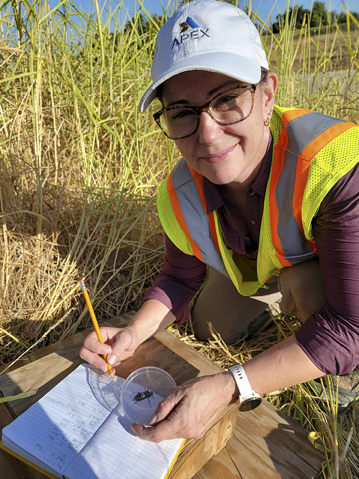
When a utility company looks to expand its transmission lines, it must perform numerous assessments and due diligence tasks to ensure that the impacts to the community and the natural environment are mitigated. This includes quantifying endangered species along the proposed transmission line. Dr. Amy Smith, division manager for Apex’s Oklahoma operations, led a team to assess the impacts to the federally endangered American burying beetle (ABB) for a proposed 600 kilovolt (kV) transmission line through 209 miles of potential habitat in Oklahoma and Arkansas using geographical information system (GIS) modeling which reduced further survey and mitigation needs.
The client proposed to develop a 600kV direct current transmission system to deliver 3,500 megawatts of electricity from renewable energy facilities in the Oklahoma Panhandle to entities in the Mid-South and Southeastern US by connecting with the Tennessee Valley Authority. But the proposed route crossed 209 miles within the range of the ABB. At the time, 2014, the US Fish and Wildlife Service (USFWS) was requiring that impacts to suitable habitat occupied by ABBs be offset through mitigation. The sheer size of the project prohibited a full, field habitat survey.
Solution
Dr. Smith used her knowledge of the ABB life cycle, USFWS regulations, and statistics to co-develop a GIS model that identified unfavorable habitat. The predictive value of the GIS model was evaluated by ground-truthing habitat from publicly accessible locations at randomly generated locations which limited coordination with landowners along the proposed, but not finalized, route.
Results
This project was completed on time and under budget. The results of the GIS model saved the client time and money by reducing the need for additional surveys in an unsuitable habitat as well as mitigation. The model also provided a map of unsuitable habitat for micrositing of structures to further reduce impacts to the ABB.